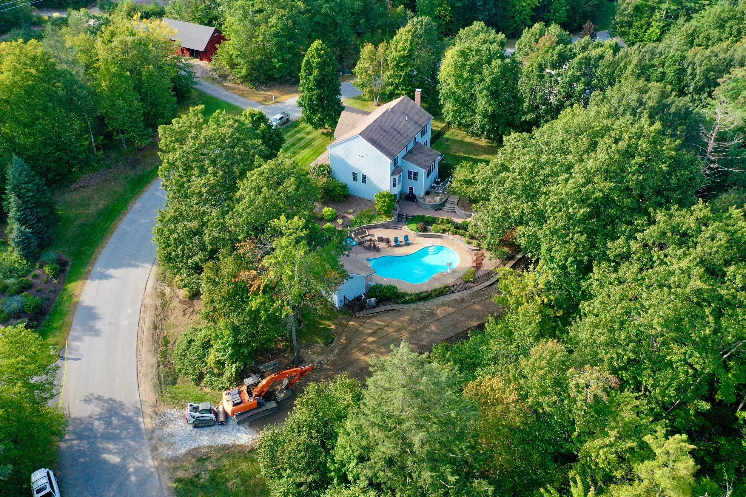
Introducing Project SkyView
Your destination for high-quality aerial photography and mapping services in southern New Hampshire.
Aspiring to New Heights
Taking Photography To The Next Level.
Unleashing Drone Potential
Modeling Solutions For All Your Projects.
Project Skyview is making large scale modeling mapping easier and more accessible than ever.
If you can dream it. We can model it. At project Skyview, we will do our best to bring all your photography and mapping ideas to life.
Beyond just our maps and models which we specialize in, we are also capable of carrying out all your basic photography, and cinematography needs. We have a wide variety drone technology at our disposal, so no matter the situation, we will do our best to meet and exceed all your expectations.
Our work is quick and efficient, but provides detail and satisfaction that will last a lifetime. From functionality to picture quality, every aspect of our work is professional grade and will not disappoint.


